Maui vs Oahu: Which Island for Diving, Surf and Wind?
 by Yannick SchrothOct 27, 202613 min read
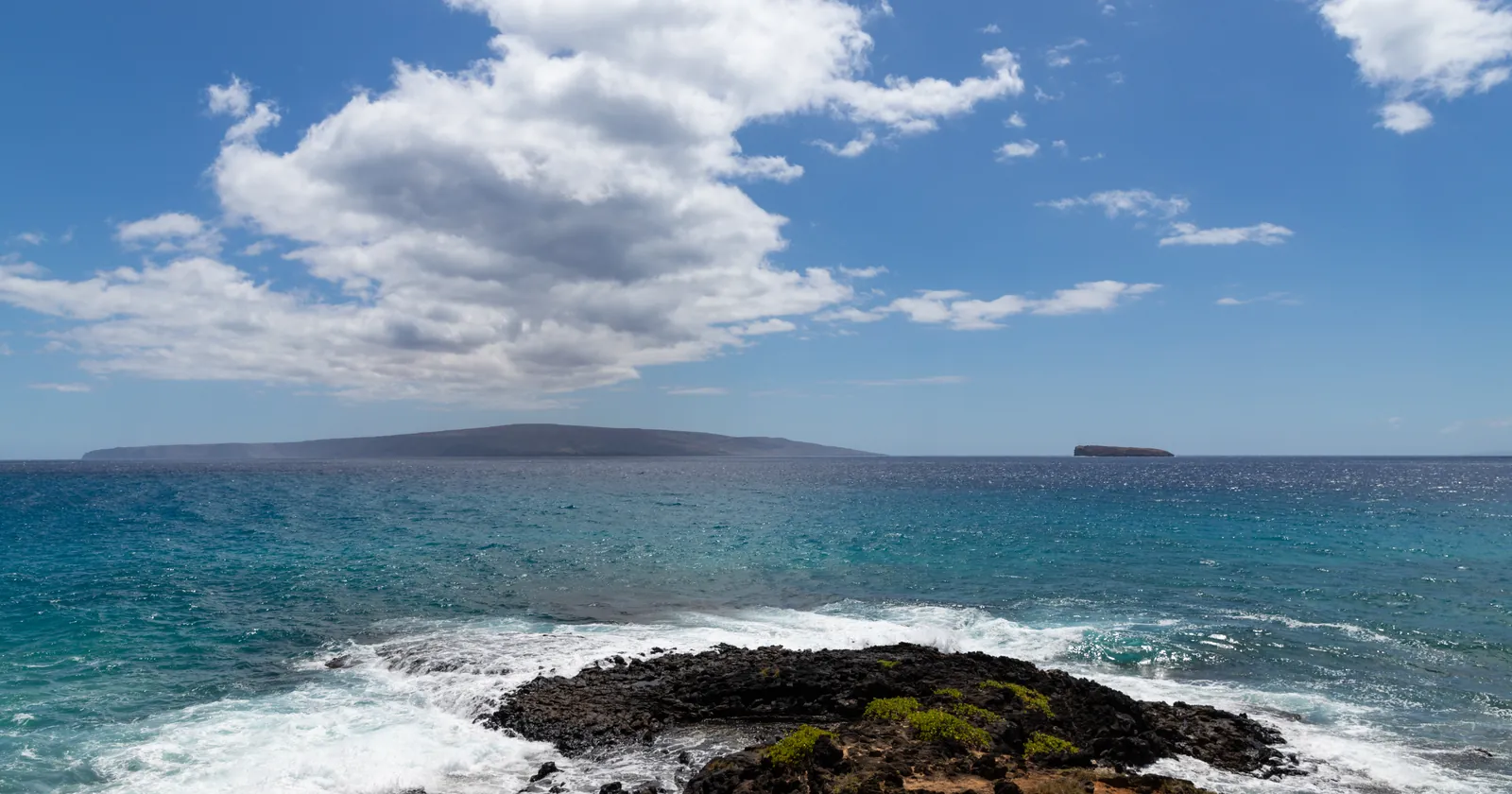
Molokini, right, and Kahoolawe behind it, seen from the coast of Maui in August 2018: the Maui side of this comparison. Photo: dronepicr, Wikimedia Commons, CC BY 2.0, cropped.
| Maui | Oahu | |
|---|---|---|
| Signature dive or snorkel | Molokini crater, 3 miles offshore, by boat with a permitted operator only | Hanauma Bay from the beach, $25 for non-residents; wrecks sunk as artificial reefs off Waikiki and Waianae |
| Modeled seas off the north shore, hours at 2 m or more, December to February | 31 to 53% | 71 to 73% |
| Modeled seas off the south shore, yearly mean | 0.86 m off Wailea, the sheltered side | 1.38 m off Waikiki; swell from the south in 76 to 94% of hours, April to October |
| Modeled wind, daytime hours at 15 knots or more, 2021–2025 | 47% between Kanaha and Hookipa; 85% in July | 18% off Waimanalo, windward side; 27% in July |
| Sea surface, February / October | 24.6 / 26.7 °C off the north shore | 24.9 / 27.2 °C off the south shore |
| Lifeguards | Towers at eight county beaches daily, Hana Bay on set days | The city staffs 44 towers |
| Shark incidents in DLNR's list, 2016–2025 | 22, four of them fatal | 23, one fatal; six were on shark-swim tours |
| Sunscreen | County ban on using any non-mineral sunscreen | State ban on selling oxybenzone and octinoxate |
| Airport by public transport | Two bus routes, each every 90 minutes, one medium bag | Skyline rail station at the airport; $3 for two hours |
| Visitor spending per day, 2025 | $305 | $238 |
Seas and wind are model data averaged for this page, water is NOAA's satellite sea surface temperature for 2021 to 2025, and visitor spending is calculated from the state's 2025 figures. Rules, fares and lifeguard lists are as read on the issuing body's pages in October 2026.
Maui vs Oahu surf by season: the North Shore winter against the south shore summer
Both islands have a north shore that takes the winter swell and a south shore that waits for summer. The difference is how much of it reaches you. Oahu has a long surf record: daily visual observations began in 1968 on the North Shore and in 1972 on the south shore, started by Larry Goddard and continued by Patrick Caldwell, whose climatology is published by the University of Hawaii Sea Level Center.
Caldwell treats September to May as the North Shore's active season, with January the peak month and an average of 12 feet peak face, plus or minus 8, in the zones where waves refract most. The south shore's season runs March to October with June the peak, at about 5.5 feet peak face at Ala Moana and Diamond Head and about 4 feet around Waikiki. Southern swell is smaller because it travels "beyond 3000 nm" to get there.
A wave model puts both islands on one scale. These are monthly figures for four points of open sea, three years of model output:
| Month | Oahu North Shore: mean / hours at 2 m+ | Maui north shore: mean / hours at 2 m+ | Off Waikiki: mean / swell from the south | Off Wailea: mean / hours at 1 m+ |
|---|---|---|---|---|
| January | 2.50 m / 73% | 1.86 m / 31% | 1.47 m / 19% | 0.90 m / 30% |
| March | 2.04 m / 47% | 1.77 m / 34% | 1.45 m / 52% | 0.88 m / 22% |
| May | 1.54 m / 9% | 1.52 m / 5% | 1.39 m / 91% | 0.90 m / 24% |
| July | 1.37 m / 2% | 1.45 m / 2% | 1.35 m / 89% | 0.81 m / 7% |
| September | 1.38 m / 2% | 1.35 m / 1% | 1.25 m / 94% | 0.80 m / 2% |
| November | 2.19 m / 60% | 1.93 m / 42% | 1.39 m / 60% | 0.84 m / 19% |
Calculated for this page from Météo-France's MFWAM wave model for Copernicus Marine, a grid of 1/12° (about 9 km) with three-hourly output, for January 2023 to December 2025. The cells are centered at 21.75° N 158.08° W, about 10 km off Sunset Beach; 21.00° N 156.42° W, about 10 km off Hookipa; 21.17° N 157.92° W, about 15 km off Waikiki; and 20.67° N 156.50° W, about 6 km off Wailea. "Swell from the south" is the share of hours with the model's swell direction between 135° and 250°. Shares of hours are shares of the model's three-hourly steps.
Read the winter rows first. In January, three model hours in four off Oahu's North Shore carry 2 m of sea or more; off Maui's north shore it is one in three. February is Maui's strongest month, at 53%, and Oahu still leads it with 71%. For a surfer who wants size on the most days, the winter question in Maui vs Oahu is not close.
Summer is subtler. The sea off Waikiki is about as high in July as in January, 1.35 m against 1.47 m, but the swell changes direction: from April to October it comes from the south in 76 to 94% of hours. That is the south shore season Caldwell describes. Off Wailea the sea stays below a meter on average all year, and in September and October it reaches a meter in 1 to 2% of hours. In this model, Maui's south coast is the calm side of either island.
A cell of about 9 km sees open water, not a reef. It cannot tell you whether Pipeline or Honolua Bay is breaking on a given morning. What it shows is how often each coast has swell to work with.
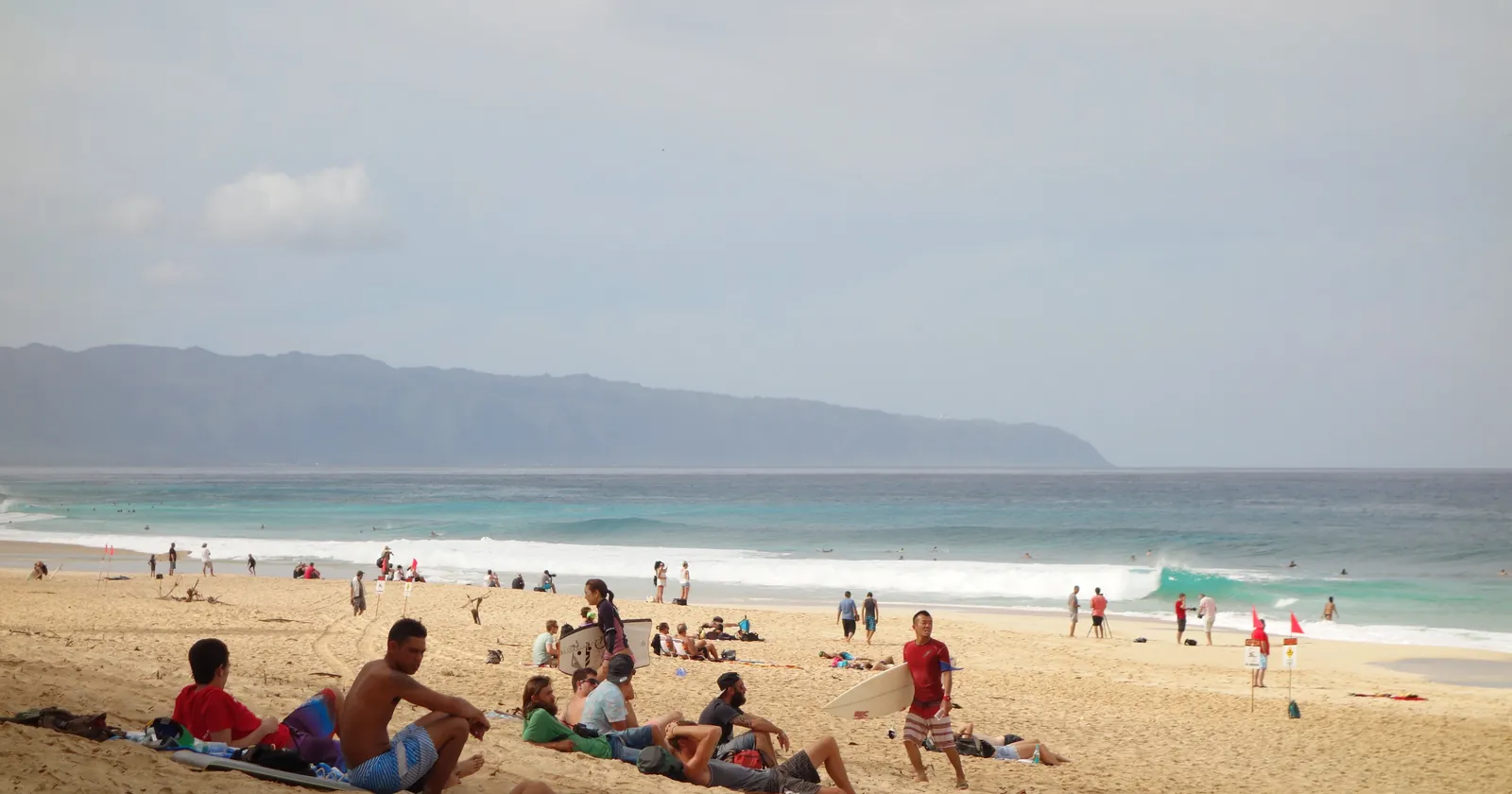
Kanaha's trade wind against Oahu's windward side, month by month
For wind sports, Maui vs Oahu turns on one stretch of coast. Kanaha Beach Park sits beside Kahului Airport on Maui's north shore, with Hookipa about 9 km east. These are daytime means, 10:00 to 18:59 local time, from five years of hourly output of a global model with a 9 km grid:
| Month | Maui, Kanaha to Hookipa: mean | Maui: hours at 15 kn+ | Oahu, off Waimanalo: mean | Oahu: hours at 15 kn+ |
|---|---|---|---|---|
| January | 9.2 kn | 20% | 9.2 kn | 11% |
| February | 11.4 kn | 33% | 11.2 kn | 28% |
| March | 12.1 kn | 36% | 11.0 kn | 25% |
| April | 13.0 kn | 43% | 11.6 kn | 22% |
| May | 14.2 kn | 52% | 12.0 kn | 18% |
| June | 16.2 kn | 64% | 12.4 kn | 16% |
| July | 17.7 kn | 85% | 13.5 kn | 27% |
| August | 15.9 kn | 66% | 12.1 kn | 15% |
| September | 14.9 kn | 57% | 11.4 kn | 7% |
| October | 12.8 kn | 38% | 10.3 kn | 11% |
| November | 12.1 kn | 35% | 11.2 kn | 22% |
| December | 10.9 kn | 29% | 10.4 kn | 17% |
Calculated for this page from ECMWF's IFS model at 9 km, wind at 10 m, as archived by Open-Meteo from the model's six-hourly runs, 1 January 2021 to 31 December 2025, Hawaii Standard Time. The Maui point is at 20.91° N 156.38° W, on the coast between Kanaha (6 km west) and Hookipa (4 km east). The Oahu point is at 21.34° N 157.71° W, just off Waimanalo Beach Park and 7 km south of Kailua Beach.
On the share of 15-knot hours, Maui leads in all twelve months. Across the year the Maui point has 15 knots or more in 47% of daytime hours and 20 knots or more in 9%; the Oahu point has 18% and 1%. The summer gap is the striking part. From June to September, when Maui's point has 57 to 85% of daytime hours at 15 knots, the Oahu point stays between 7% and 27%. The model's mean direction is from the east-north-east on both, between 62° and 80° at Maui.
A model point on a coast can still miss what happens at one beach. As a check, ECMWF's coarser ERA5 reanalysis was read for open sea upwind of each island, at 21.00° N 156.25° W and 21.50° N 157.50° W. It gives 15 knots or more in 46% of daytime hours off Maui and 33% off Oahu. The order holds; the size of the gap depends on where you measure.
Maui's rules at Kanaha and Hookipa: swim zones, an 11 a.m. launch and the airport next door
Maui's north shore wind spots are written into state rules. Chapter 13-256 of the Hawaii Administrative Rules marks three swimming zones off Kanaha Beach Park where "no person shall operate a vessel or sailboard", and adds: "No person shall launch a sailboard from Kanaha Beach Park prior to 11:00 a.m." Windsurf lessons and beginners may use the water within 300 feet of shore between zones A and B from 9:00 a.m.
The wording matters for kiters. The rules define a sailboard as a board over four feet "propelled by a detachable sail apparatus", which describes a windsurfer, and the Kanaha section never names kites. At Hookipa, the same chapter keeps zone A for swimming and surfing; zones B and C become surfing zones once five or ten surfers are out, with no sailboards in the surf break.
The airport is the other rule. Federal aviation rules bar flying a kite that weighs more than five pounds on a line "within five miles of the boundary of any airport", and Kanaha is next to one. Kiting there runs under an FAA waiver, as news reports since 2003 and the local spot guide agree. Its conditions limit where and how high kites may fly. Ask a school for the current boundary before your first launch.
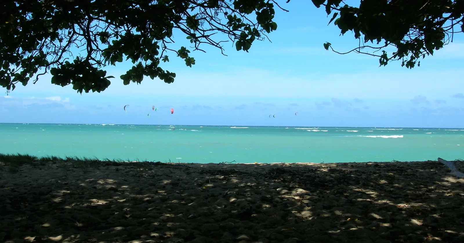
Molokini on Maui: a crater reached only by permitted boats
Molokini is a crescent islet in the Alalakeiki Channel about 3 miles off Maui's southwest coast, the rim of a submerged crater. The state made its 77 acres a Marine Life Conservation District in 1977. The Division of Aquatic Resources describes the cove sloping to about 100 feet before it drops off, and a back wall falling past 200 feet. Access is by boat only, and the islet itself is a seabird sanctuary you may not land on.
The rules were tightened in 2024. Amendments to chapter 13-31, in force since 15 March 2024, make it unlawful to "engage in commercial activity involving ocean users getting in or on the water, including but not limited to swimming, snorkeling, diving, kayaking, or paddling" without a Molokini use permit, and they ban anchoring a boat anywhere in the district. Taking marine life is banned except trolling for fish in the outer zone.
For a visitor this means one thing. You see Molokini from a permitted boat out of Maalaea Harbor or Kihei, not on your own. Each boat needs its own permit, renewed every two years at $1,500, $3,000 or $6,000 by passenger capacity: under 25, 25 to 74, or 75 and over. DAR warns that currents outside the cove can be a problem and may strengthen inside it in the afternoon, when the wind picks up. Book a morning trip.
Hanauma Bay and the wrecks: Oahu's diving by reservation and by boat
Oahu's counterpart is a bay you walk into. Hanauma Bay became the state's first Marine Life Conservation District in 1967; its 101 acres run out to the bay's mouth, and DAR recommends the outer bay, down to about 70 feet, only for experienced divers. The Molokai Express current near the left side of the mouth is hazardous on ebb tides.
The city runs the gate, and the rules shape a week. The preserve opens Wednesday to Sunday, with entry from 6:45 a.m. to 1:30 p.m. Non-residents aged 13 and over pay $25 plus a 2.35% online fee, and reservations open two days ahead at 7 a.m. Hawaii time, so Wednesday sells on Monday morning. About a quarter of access is kept for walk-ins. Every visitor watches the educational video on every visit. Parking is $3, cash only.
Boat diving is the other half. Two of Oahu's best-known wrecks were sunk on purpose: the YO-257, a former Navy yard oiler scuttled off Waikiki in 1989 by Atlantis Submarines as an artificial reef, and the Mahi, a former Navy minesweeper sunk off Waianae in 1982. Both histories come from independent dive and reference sources rather than a government record, and are marked as triangulated below. Published depths for them disagree, so take the depth from the boat briefing and plan both as deep dives. The Oahu diving guide covers the North Shore sites and the commercial rules inside Hanauma Bay.
Maui and Oahu water temperature: half a degree apart at most
On water, Maui vs Oahu is close to a draw. NOAA's satellite sea surface temperature, monthly means for four cells:
| Month | Oahu North Shore | Off Honolulu | Maui north shore | Off Makena and Molokini |
|---|---|---|---|---|
| February | 24.6 °C | 24.9 °C | 24.6 °C | 24.9 °C |
| April | 24.9 °C | 25.1 °C | 24.6 °C | 24.8 °C |
| June | 25.8 °C | 26.1 °C | 25.5 °C | 25.9 °C |
| August | 26.8 °C | 27.0 °C | 26.4 °C | 26.7 °C |
| October | 27.0 °C | 27.2 °C | 26.7 °C | 26.8 °C |
| December | 25.5 °C | 25.7 °C | 25.4 °C | 25.7 °C |
Monthly means of NOAA's Optimum Interpolation sea surface temperature v2.1, January 2021 to December 2025, from the monthly-mean file sst.mon.mean.nc on NOAA PSL's server, for the quarter-degree cells centered at 21.625° N 158.125° W, 21.125° N 157.875° W, 21.125° N 156.375° W and 20.625° N 156.375° W.
The sea off Honolulu is the warmest of the four in every month shown, and Maui's north shore the coolest, but the spread stays under 0.7 degrees. All four bottom out in February or March, about 24.4 to 24.9 °C (76 to 77 °F), and peak in September and October at 26.7 to 27.2 °C (80 to 81 °F). The annual range is only about 2.1 to 2.4 degrees. One wetsuit decision covers both islands; a winter of long sessions at Kanaha feels the coolest water in this table.
Lifeguards and shark incidents on Maui and Oahu, from the county and state records
Lifeguard cover differs a lot. On Oahu, the city's Ocean Safety Department says it "staffs 44 towers around Oahu", and in March 2026 it added a tower at Pupukea Beach Park covering Shark's Cove and Three Tables. Maui County lists towers at Kamaole I, II and III in Kihei, Hanakao'o and D.T. Fleming on the west side, and Kanaha, Baldwin and Hookipa on the north shore, plus Hana Bay on Fridays and program days only. Its lifeguards work 8:00 a.m. to 6:45 p.m. from mid-March to mid-September, and 7:30 a.m. to 6:15 p.m. in winter.
The state's shark incident list, kept by DLNR's Division of Aquatic Resources, counts only cases where a shark bit a person or a board. For the ten years 2016 to 2025 it records:
- Maui: 22 incidents, 4 fatal. Eleven came in October, November and December, and tiger sharks are named in eleven. Surfing, paddleboarding and snorkeling account for most.
- Oahu: 23 incidents, 1 fatal. Six were on commercial shark-swim trips about 3 miles off Haleiwa, all classed as provoked, and three were cookiecutter shark bites on swimmers crossing the Kaiwi Channel.
Set those against traffic. Oahu received 5.68 million visitors in 2025 and Maui 2.52 million, by the state's count, so Maui has a similar number of incidents with fewer than half the visitors. The list for 2026, as read on 27 October, adds three on Oahu and one on Maui. DLNR's own advice is plain: stay out at dawn, dusk and night, avoid murky water, harbor entrances and stream mouths, especially after heavy rain, and remember that "tiger sharks are known to bite people at all times of the day".
Sunscreen and dolphin rules: where Maui is stricter than Oahu
Hawaii's sunscreen law is a sales ban. Act 104 of 2018 made it unlawful from 1 January 2021 "to sell, offer for sale, or distribute for sale in the State any sunscreen that contains oxybenzone or octinoxate, or both" without a prescription, and it excludes products marketed as a cosmetic for the face. It applies on both islands, and it says nothing about what you wear.
Maui County goes further. Its Ordinance 5306, in force since 1 October 2022, reads: "Any non-mineral sunscreen must not be used or applied by any person", unless it is prescribed, and it defines non-mineral as any sunscreen with an active ingredient "other than zinc oxide and titanium dioxide". So on Maui the rule reaches your skin, not just the shop shelf, and it covers every chemical filter, not two. Pack a mineral sunscreen for a Maui month; our reef-safe sunscreen guide explains what to look for.
Federal wildlife rules also reach further off Maui. Since 2021, 50 CFR 216.20 makes it unlawful to approach, remain or swim within 50 yards of a Hawaiian spinner dolphin within 2 nautical miles of the main islands. It also covers all the water enclosed by Lanai, Maui and Kahoolawe, so the rule holds in the middle of that basin too. Humpback whales get 100 yards anywhere within 200 nautical miles of Hawaii under 50 CFR 216.19.
Getting around Maui or Oahu without a car
Oahu is the island where a car-free month can work. Skyline, Honolulu's rail line, opened its second segment on 16 October 2025, extending the line from East Kapolei to Middle Street with four new stations, among them Lelepaua at Daniel K. Inouye International Airport. Since 1 July 2026 a 2-hour pass costs $3.00 on TheBus and Skyline, with a daily cap of $7.50 and a monthly cap of $90; cash on the bus is $3.25.
Maui's airport is served, but thinly. The state's airport page says Maui Bus "provides limited service to the airport": route 40, the Upcountry Islander, and route 35, the Haiku Islander, each run every 90 minutes. Riders may bring one medium bag no larger than 22 by 14 by 9 inches, which has to fit under the seat or on your lap. That rules out a board bag, and in practice a Maui wind month means a rental car.
What a month on Maui or Oahu costs: the same taxes, a higher daily spend
Both islands stack the same taxes on a stay. Hawaii's transient accommodations tax applies to any accommodation "rented to a transient for less than 180 consecutive days", and the state rate rose from 10.25% to 11.00% on 1 January 2026. Honolulu and Maui County each add their own 3% for stays under 180 days. On top comes the general excise tax, which a business may pass on at up to 4.712% on either island, since Maui County adopted the same 0.5% surcharge as Honolulu from 1 January 2024. Passed on in full, that is 18.7% on rent below six months, on Maui and Oahu alike.
The difference is in what visitors spend. By the state's 2025 figures, visitors to Maui spent $5.97 billion over 19.6 million visitor days, about $305 a day, and visitors to Oahu spent $9.42 billion over 39.6 million days, about $238. These are averages over every visitor, hotel guests included, not a nomad budget, and the gap is about 28%. On Oahu, Hanauma Bay's $25 is the one fixed entry fee in this comparison; on Maui the extra cost is the boat to Molokini. Entry rules are the same on both: they are in one US state, so the ESTA or visa you arrive on covers the move between them.
Dive centers on our Oahu list, and why Maui has none yet
The Oahu operator list holds 7 dive businesses, all from SSI's register of affiliated centers, compiled 20 September 2026. Four are filed under Honolulu and one each under Aiea, Waianae and Oahu itself. SSI rates five of the seven for freediving. A register listing shows affiliation, not quality, and it does not say whether a shop holds one of Hanauma Bay's commercial permits.
Maui has no operator list on this site yet, so none of its dive, kite or windsurf schools is checked against a register here. For Molokini, the question to ask is simpler than any register: does the boat hold a current Molokini use permit? The state requires one for every commercial boat that puts people in the water there.
Maui vs Oahu in five lines
- Oahu for winter surf: seas of 2 m or more in 71 to 73% of model hours off the North Shore from December to February, against 31 to 53% off Maui.
- Maui for wind: 15 knots or more in 47% of daytime model hours near Kanaha, 85% in July; 18% on Oahu's windward side.
- Molokini is boat-only with a permitted operator and no anchoring; Hanauma Bay is a beach entry, closed Mondays and Tuesdays, $25.
- Maui bans using non-mineral sunscreen; the state bans selling two filters.
- Oahu works without a car: rail at the airport and a $3 two-hour pass. Maui does not.
Oahu for a winter of surf and no car, Maui for a summer of wind and Molokini
Pick Oahu if the month falls between November and February and you surf, or if you want to dive Hanauma Bay, the Waikiki wrecks and the North Shore in summer from a base with rail and buses. The Oahu diving guide covers the reef rules and seasons, and the Kona manta night dive is on Hawaii Island, a flight away. Do not pick it for a kite month: its windward point has fewer than half of Maui's 15-knot hours in the model.
Pick Maui if you windsurf, kite or wing foil, and come from June to September, when the model point near Kanaha has 15 knots in 57 to 85% of daytime hours. The Maui guide covers Kanaha, Hookipa and the cost of living there. Do not pick it without a car or a budget for one, and do not pick it for a December surf trip if size is the point.
If you are new to the wind side, start with how to learn kitesurfing or how to start windsurfing. On either island, check that your insurance covers kiting, surfing and diving before the month starts.
FAQ: Maui vs Oahu
Is Maui or Oahu better for snorkeling and diving?
It depends on how you want to get in. Oahu has Hanauma Bay, a beach entry that opens Wednesday to Sunday and costs non-residents $25, plus wrecks sunk as artificial reefs off Waikiki and Waianae. Maui has Molokini, a crater 3 miles offshore that you can only visit on a boat holding a Molokini use permit; anchoring there is banned.
Is Oahu or Maui better for surfing in winter?
Oahu. In wave-model data for 2023 to 2025, the sea off Oahu's North Shore carries 2 m or more in 71 to 73% of hours from December to February, against 31 to 53% off Maui's north shore. Oahu's south shore takes over from April to October, when the swell there comes from the south in 76 to 94% of hours.
Is Maui windier than Oahu for kitesurfing?
Yes, in the model data. A 9 km model point between Kanaha and Hookipa has 15 knots or more in 47% of daytime hours over 2021 to 2025, and 85% in July. A point off Waimanalo on Oahu's windward side has 18%. Kanaha lies beside Kahului Airport, and kiting there runs under an FAA waiver; ask a school for its current limits.
Is the water warmer on Oahu or Maui?
Slightly on Oahu. NOAA satellite data for 2021 to 2025 put the sea off Honolulu at 24.9 °C in February and 27.2 °C in October, and Maui's north shore at 24.6 °C and 26.7 °C. The gap stays under 0.7 degrees, so the same wetsuit works for both.
Are there more shark incidents on Maui or Oahu?
About the same number, with fewer visitors on Maui. DLNR's list records 22 incidents on Maui from 2016 to 2025, four fatal, and 23 on Oahu, one fatal. Six of Oahu's were on shark-swim tours off Haleiwa, classed as provoked. Half of Maui's came in October to December.
Can you use chemical sunscreen on Maui?
No. Maui County's Ordinance 5306, in force since 1 October 2022, says non-mineral sunscreen must not be used or applied by any person without a prescription; only zinc oxide and titanium dioxide qualify as mineral. Statewide, Act 104 bans selling sunscreen with oxybenzone or octinoxate, but not wearing it.
Sources
- Sea state. Météo-France MFWAM global wave model, Copernicus Marine product GLOBAL_ANALYSISFORECAST_WAV_001_027 (1/12°, about 0.083°, three-hourly values, no interpolation), significant wave height and swell direction, 1 January 2023 to 31 December 2025, read from Copernicus Marine on 2 November 2026 for the cells centered at 21.75° N 158.08° W, 21.00° N 156.42° W, 21.17° N 157.92° W and 20.67° N 156.50° W. Monthly means, the shares of hours at 1 m and 2 m or more and the share of hours with swell from 135° to 250° are calculated for this page. Shares of hours are shares of the model's three-hourly steps. Generated using E.U. Copernicus Marine Service Information; https://doi.org/10.48670/moi-00017. Copernicus Marine
- Oahu surf seasons. Patrick Caldwell, Oahu Surf Climatology, University of Hawaii Sea Level Center: observations from 1968 (North Shore) and 1972 (south shore), begun by Larry Goddard; North Shore active season September to May, peak January, 12 feet plus or minus 8 peak face; south shore active season March to October, peak June, 5.5 feet peak face at Ala Moana and Diamond Head, about 4 feet at Waikiki; southern swell "beyond 3000 nm". Read 27 October 2026 in an archived copy of 17 March 2026, the university server refusing connections that day. uhslc.soest.hawaii.edu, archived copy
- Wind. ECMWF IFS (9 km, hourly), wind speed and direction at 10 m, 1 January 2021 to 31 December 2025, read year by year through Open-Meteo's historical weather API on 27 October 2026 for the points at 20.91° N 156.38° W and 21.34° N 157.71° W; ECMWF ERA5 (0.25°) for the check cells at 21.00° N 156.25° W and 21.50° N 157.50° W, read from the Copernicus Climate Data Store on 3 November 2026. Daytime means and the shares of hours at 15 and 20 knots or more, 10:00 to 18:59 Hawaii Standard Time, are calculated for this page. Contains modified Copernicus Climate Change Service information. Neither the European Commission nor ECMWF is responsible for any use that may be made of it. Open-Meteo, Copernicus Climate Data Store
- Sea surface temperature. NOAA OISST v2.1, monthly means of the daily analysis in the file sst.mon.mean.nc, quarter-degree cells at 21.625° N 158.125° W, 21.125° N 157.875° W, 21.125° N 156.375° W and 20.625° N 156.375° W, January 2021 to December 2025, read on 27 October 2026 from NOAA PSL's server. NOAA PSL, NCEI product page
- Kanaha and Hookipa. Hawaii Administrative Rules chapter 13-256, unofficial compilation published by DLNR's Division of Boating and Ocean Recreation: section 13-256-127 (Hookipa zones A to D, the 5-man and 10-man rules) and section 13-256-130 (Kanaha swimming zones A, B and C; "No person shall launch a sailboard from Kanaha Beach Park prior to 11:00 a.m."; lessons within 300 feet after 9:00 a.m.). Section 13-230-8 for the definition of "sailboard". Read 27 October 2026. HAR 13-256 (PDF), HAR 13-230-8 (LII reproduction)
- Kites near airports. 14 CFR 101.1(a)(2), kites over five pounds, and 101.13(a)(4), "within five miles of the boundary of any airport". Read 27 October 2026. eCFR 101.1, eCFR 101.13. Triangulated, no FAA text found: that kiting at Kanaha runs under an FAA waiver, stated by the Honolulu Star-Bulletin (4 October 2003), AVweb (24 September 2003) and the Kiteforum spot guide for Kanaha. The waiver's conditions as these sources describe them (a no-kite zone at the end of a runway, a height limit, daylight hours) rest on two sources or fewer and are not stated as fact. Read 27 October 2026. Star-Bulletin, AVweb, Kiteforum
- Molokini. Division of Aquatic Resources, Molokini Shoal page: about 3 miles off Maui, 77 acres, established 1977, boat access only, the cove to about 100 feet, the back wall past 200 feet, currents, the seabird sanctuary. Amendments to HAR chapter 13-31 as submitted to the Board of Land and Natural Resources for final approval on 7 December 2023, sections 13-31-3(5) and (6), 13-31-4 and 13-31-5(b) with the fees of $1,500, $3,000 and $6,000; DAR's rules page lists them as effective 15 March 2024. All read 27 October 2026. DAR, Molokini Shoal, BLNR submittal F-2 (PDF), DAR rules page
- Hanauma Bay. Division of Aquatic Resources, Hanauma Bay page (101 acres, established 1967, the outer bay to about 70 feet for experienced divers, the Molokai Express). City and County of Honolulu, Department of Parks and Recreation, Hanauma Bay Nature Preserve (days, hours, $25 non-resident fee, 2.35% online fee, reservations two days ahead from 7 a.m., about 25% walk-in access, the video on every visit, $3 cash parking). Both read 27 October 2026. DAR, Hanauma Bay, honolulu.gov
- Triangulated: the YO-257 and the Mahi. YO-257, a former Navy yard oiler, scuttled off Waikiki in 1989 by Atlantis Submarines as an artificial reef: Wikipedia, Rainbow Scuba and Dive Oahu. The Mahi, the former minesweeper USS Scrimmage, sunk off Waianae as an artificial reef in 1982: Wikipedia, Rainbow Scuba (which calls it a mine layer) and Dive Hawaii (minesweeper, Waianae). No government record of either sinking was found. Read 27 October 2026. YO-257, USS Scrimmage, Rainbow Scuba, Dive Oahu, Dive Hawaii
- Lifeguards. Honolulu Ocean Safety Department, "Ocean Safety staffs 44 towers around Oahu"; Office of the Mayor, 27 March 2026, the new tower at Pupukea Beach Park. County of Maui, Ocean Safety: the tower beaches and hours, read in an archived copy of 12 August 2026 because the county's server refused requests. All read 27 October 2026. honolulu.gov/hosd, Shark's Cove tower, mauicounty.gov (archived)
- Shark incidents. DLNR Division of Aquatic Resources, Hawaii Sharks, incidents list and safety tips. The 2016 to 2025 counts by island, the fatal, provoked and cookiecutter cases, the months and the species are counted from the list for this page. Read 27 October 2026. incidents list, safety tips
- Visitors and spending. Department of Business, Economic Development and Tourism, December 2025 visitor statistics release with calendar-year 2025 figures: Oahu 5,679,047 visitors, $9,417.3 million, 39,566,044 visitor days; Maui 2,516,163 visitors, $5,971.6 million, 19,579,754 visitor days. Spending per visitor day is calculated for this page. Read 27 October 2026. dbedt.hawaii.gov
- Sunscreen. Act 104, Session Laws of Hawaii 2018 (S.B. 2571), approved 3 July 2018, now section 342D-21 of the Hawaii Revised Statutes, read in an archived copy of the Legislature's PDF; the Legislative Reference Bureau's tables of sections affected in 2025 and 2026 list no change to 342D-21. County of Maui, Ordinance 5306, Maui County Code chapter 20.42, in force 1 October 2022, read in an archived copy of the county's PDF. All read 27 October 2026. Act 104 (archived PDF), LRB 2025, LRB 2026, Ordinance 5306 (archived PDF)
- Dolphins and whales. 50 CFR 216.20, Hawaiian spinner dolphins, 50 yards, within 2 nautical miles of the main islands and in the waters bounded by Lanai, Maui and Kahoolawe, 86 FR 53841, 28 September 2021; 50 CFR 216.19, humpback whales, 100 yards within 200 nautical miles. Read 27 October 2026. eCFR 216.20, eCFR 216.19
- Transport. Office of the Mayor, 16 October 2025, Skyline segment 2 and its four stations. TheBus fares effective 1 July 2026 (2-hour pass $3.00, day cap $7.50, month cap and pass $90, cash $3.25), read in an archived copy of 5 October 2026 because thebus.org refused connections. Hawaii Department of Transportation, Kahului Airport, Maui Bus (routes 35 and 40, every 90 minutes, luggage limit). All read 27 October 2026. honolulu.gov, thebus.org (archived), airports.hawaii.gov
- Taxes on a stay. Hawaii Department of Taxation, Tax Facts 96-2 (the 180-day definition) and Announcement 2025-03 (TAT from 10.25% to 11.00% on 1 January 2026, Act 96 of 2025); the county surcharge page (0.5% in Honolulu since 2007 and in Maui County since 1 January 2024, maximum pass-on 4.712%). City and County of Honolulu, OTAT Announcement 2024-01 (3%, Ordinance 21-33, from 14 December 2021, stays under 180 days). County of Maui, MCTAT page (3%, Ordinance 5273, from 1 November 2021), read in an archived copy of 5 May 2026. All read 27 October 2026. Tax Facts 96-2, Announcement 2025-03, county surcharge, OTAT 2024-01, MCTAT (archived)
- Distances between model cells and beaches are great-circle distances calculated for this page.
- Counted from the operator list: Oahu, compiled 20 September 2026 from SSI's register of training centers. divessi.com