Cornwall Diving: The Wrecks That Need a License, the Shellfish Limit and the Water
 by Yannick Schroth
Sep 25, 2026
15 min read
by Yannick Schroth
Sep 25, 2026
15 min read
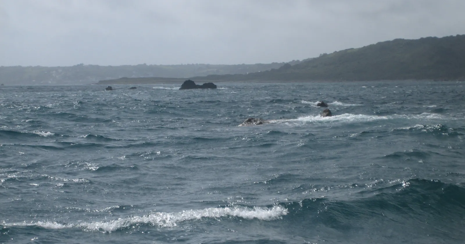
The Manacles, looking south-west towards Coverack. Photo: Mark.murphy at English Wikipedia, Wikimedia Commons, CC BY 2.5.

Key takeaways
- 13 of the 57 protected wrecks on England’s national list lie off Cornwall and Scilly, and diving to explore one without a license is an offense under section 1(3) of the 1973 Act
- The Coronation off Penlee Point and HMS Colossus off Samson have protected-wreck dive trails, which Historic England says need no personal license
- The 2026 designation order made HMCS Regina and HMCS Trentonian controlled sites, joining HMS A7; diving to investigate or record them is prohibited without a license
- The Merchant Shipping Act makes you give notice of any wreck you recover; the 28 days you will often read is the Receiver’s guidance, not the Act
- From a boat in the Cornwall fisheries district, five lobsters, crawfish, edible or spider crabs a day may be kept without a permit, at most two of them lobster or crawfish, counted per vessel
Thirteen protected wrecks lie off Cornwall and Scilly, and most can only be dived under license
Historic England counts 57 wrecks designated under the Protection of Wrecks Act 1973 in English waters. Plot the National Heritage List’s own site data and 13 of them sit west of the Tamar: eight off mainland Cornwall and five in the Isles of Scilly. That is more than one in five of the national list on a single county’s coast.
The Act is short and blunt. Section 1(3) makes it an offense, in a restricted area and without a license from the Secretary of State, to tamper with, damage or remove any part of the wreck, to carry out diving or salvage operations directed to the exploration of any wreck, to use equipment built or adapted for diving or salvage, or to dump anything that could smother or obstruct the site. Historic England runs the licensing and says anyone can apply.
What stays legal is spelled out too. Historic England states that bathing, angling and navigation are permitted inside a restricted area provided they do not breach those restrictions, and that anchoring on the site is only permitted for licensed work or in maritime distress. Every protected wreck is listed in the annual Admiralty Notices to Mariners and marked on the relevant UK Hydrographic Office charts.
The mainland eight cluster round the Lizard and Plymouth Sound. The Coronation lies in two designated parts off Penlee Point. Gunwalloe Fishing Cove holds two: the St Anthony, a Portuguese carrack beached in 1527, and the Loe Bar Wreck, thought to be the East Indiaman President of 1684. Then the Schiedam (1684) at Jangye-ryn, the Rill Cove wreck near Mullion, the Royal Anne galley on the Stag Rocks off Lizard Point (1721) and the packet Hanover (1763) near Cligga Head.
Scilly adds Tearing Ledge, thought to be from Sir Cloudesley Shovell’s fleet lost in October 1707, and the Association, which certainly was; then the Bartholomew Ledges wreck in St Mary’s Sound, HMS Colossus off Samson and the Wheel Wreck off Little Ganinick. Most are circles with radii of 50 to 250 meters, and they move: the Hanover’s was 250 meters in 1997 and was redrawn as 150 meters round a new point by a 2022 order. Use current coordinates, not an old chart.
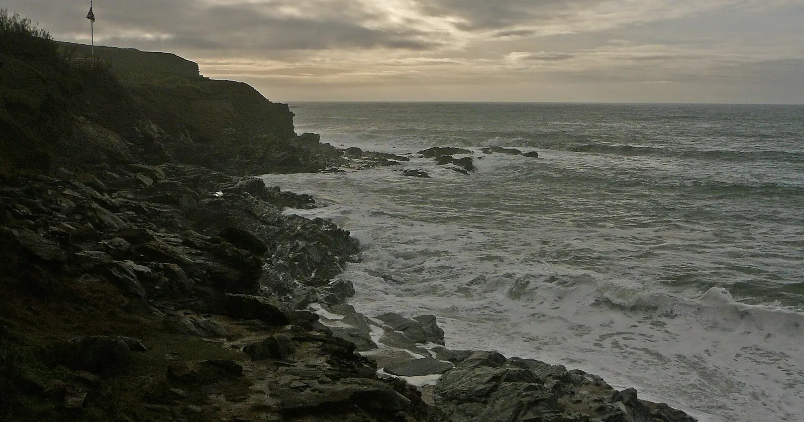
Gunwalloe Fishing Cove, where the St Anthony and the Loe Bar Wreck lie in designated restricted areas. Photo: Tim Green, Wikimedia Commons, CC BY 2.0.
.jpg)
The Coronation and HMS Colossus are the two Cornwall protected wrecks with a dive trail
There is a lawful way onto two of the thirteen without applying for anything. Historic England lists six protected wrecks in England with a dive trail, run by the licensees and by charter skippers, and two of those six are here: the Coronation and HMS Colossus. The agency says plainly that one benefit of a trail is easier access for divers, because no license is required.
The Coronation was a 90-gun second rate built in 1685. On 3 September 1691, running for Plymouth in a south-easterly gale, she foundered trying to round Penlee Point, and Historic England puts the dead at around 600. Her wreckage lies in two designated sites: the offshore one, a 150-meter circle at a general depth of 13 meters, and the inshore one, a 250-meter circle at about 5 meters on shelly sand and rock with kelp.
A survey between 1981 and 1984 identified 83 cannon spread over roughly 1,000 meters off Penlee Point, and Historic England notes that only small pieces of wreckage remain on the offshore site. So this is a dive about guns and a debris trail, not a hull, and the trail exists to tell you what you are looking at.
HMS Colossus, a 74-gun third rate built in 1787, struck Southward Well off Samson in a storm in 1798 while carrying wounded men from the Battle of the Nile and Greek pottery collected for Sir William Hamilton. She lies in about 10 meters on coarse white sand and crushed shell, inside a restricted area redrawn in 2017 as a four-cornered polygon. Ask any boat whether the trip is on the trail before you book it. Our wreck diving list compares coasts built around this kind of dive.
Since March 2026, two Canadian wrecks off Cornwall have been controlled sites
A second statute covers warships, and it changed this year. The Protection of Military Remains Act 1986 (Designation of Vessels and Controlled Sites) Order 2026, SI 2026/286, was made on 9 March 2026, came into force on 30 March 2026 and revoked the 2019 order. It designated controlled sites for the first time around HMS Cobra, HMCS Regina and HMCS Trentonian, and two of those three lie off Cornwall.
The order fixes them by coordinates. Regina’s controlled site is everything within 100 meters of 50°42.769′N 4°58.423′W, off the north coast north-west of Port Isaac. Trentonian’s is within 100 meters of 50°07.037′N 4°44.609′W, in the Channel south of Dodman Point. The submarine HMS A7 keeps the 200-meter controlled site it already had, round 50°18.518′N 4°17.984′W off Whitsand Bay.
Controlled means more than look but do not touch. Section 2(3)(a) of the Act prohibits any excavation, diving or salvage operation at a controlled site carried out for the purpose of investigating or recording details of the remains. Section 2(2) separately forbids tampering with, damaging, moving, removing or unearthing remains, and entering any hatch or other opening. A license under section 4 is the defense.
The same order lists 113 vessels as protected places, where diving itself is not prohibited but the section 2(2) acts are. It names them only with a date of loss and gives no positions, so the schedule alone will not tell you which lie off Cornwall. Conviction brings a fine up to the statutory maximum in a magistrates’ court, or a fine on indictment.
Wreck material lifted on a Cornwall dive must be declared, and the 28 days are not in the Act
The broadest rule applies to every wreck, designated or not. Section 236(1) of the Merchant Shipping Act 1995 says that anyone who finds or takes possession of wreck in UK waters, or brings it into them, must give notice to the receiver, and if they are not the owner must hold it to the receiver’s order or hand it over.
You will read that the law gives you 28 days. It does not. The section contains no period at all; the 28 days comes from the Maritime and Coastguard Agency’s own guidance, which asks finders to send the report of wreck and salvage form within 28 days and calls that a reasonable time. It is the working deadline, and extensions can be asked for in writing, but it is guidance, not statute.
The penalty is in the Act. Failing without reasonable excuse brings a fine up to level 4 on the standard scale, which the agency gives as £2,500. A finder who is not the owner also forfeits any claim to salvage and becomes liable to pay twice the value of the wreck to the owner or to whoever is entitled to it.
“Wreck” is wider than a bell or a porthole. Section 255 defines it to include jetsam, flotsam, lagan and derelict found in or on the shores of the sea or tidal water, and subsection (2) treats fishing boats and fishing gear lost or abandoned at sea as wreck too. The agency adds that recovered material must be reported regardless of age, size or apparent value, from medieval pots to cannon.
The Manacles off Cornwall is a Marine Conservation Zone, not a protected wreck site
Off St Keverne on the east side of the Lizard lies the Manacles, the reef where the steamship Mohegan was lost in 1898. Neither she nor anything else on the Manacles is on the protected wreck list. What protects the reef is nature law, and its date is easy to mix up: the Manacles Marine Conservation Zone Designation Order 2013 came into force on 12 December 2013.
Its schedule of protected features is specific. Next to six broadscale habitats it names maerl beds, the sea-fan anemone, the spiny lobster (Palinurus elephas, the Cornish crawfish) and a stalked jellyfish. An amendment order in force from 29 January 2016 added two sediment habitats and the pink sea-fan. The 2016 date belongs to that amendment and to the Runnel Stone zone off the Land’s End peninsula, which came into force the same day.
Cornwall IFCA’s byelaw for the zone, the Manacles Marine Conservation Zone (Fishing Restrictions) Byelaw 2017, bans exactly one thing: bottom towed gear, trawls and dredges. It says nothing about divers, pots or hand-gathering. The Whitsand and Looe Bay byelaw of 2018 has the same shape, and so does the authority’s closed-areas byelaw for the sites off Land’s End, the Lizard and the Eddystone.
That does not make a diver exempt. Section 140 of the Marine and Coastal Access Act 2009 makes it an offense, without lawful excuse, to intentionally or recklessly kill or injure an animal that is a protected feature of a zone, or to take anything that forms part of one. Two conditions narrow it: you knew or ought to have known it was a zone, and the act significantly hindered, or may do so, the zone’s conservation objectives.
The neighboring designations follow the same pattern. The Whitsand and Looe Bay zone protects seagrass beds, the pink sea-fan, the sea-fan anemone and stalked jellyfish, and a 2019 amendment added the giant goby. The Fal and Helford Special Area of Conservation, 6,362.83 hectares on JNCC’s record, is designated first for sandbanks, mudflats, large shallow inlets and bays and salt meadows, with reefs as a qualifying feature.
Cornwall’s boat limit on lobster and crawfish is counted per vessel, not per diver
Divers who collect their dinner need one byelaw above all: the Lobster, Crawfish and Crab Fishing Permit Byelaw 2016. Paragraphs 3 and 4 say nobody may use a vessel to fish for, or keep on board, lobster, crawfish, edible crab or spider crab unless the owner of the vessel holds a permit. Paragraph 5 is the exemption that recreational boats live under.
Without a permit, the combined number of those four species retained on board must not exceed five per calendar day, lobster and crawfish together must not exceed two, and everything must be landed the same day. Read the wording: the count is of what is on board the vessel. A charter boat without a permit carrying ten divers keeps five shellfish between them, not five each.
Crawfish carry a size rule of their own. The Cornwall Sea Fisheries District Crawfish Byelaw 2011 sets a minimum of 110 millimeters, measured along the carapace from the tip of the central rostral spine to the rear of the body shell, bans removing any detached part including the tail, and requires undersized animals to go straight back.
Both byelaws apply in the Cornwall Inshore Fisheries and Conservation District, which the 2010 order defines as the area of Cornwall Council and the sea out to 6 nautical miles from the 1983 baselines. The Isles of Scilly, which have their own council, are not in it. And on the Manacles, the crawfish you are measuring is a protected feature of the zone.
Basking sharks off Cornwall are protected against reckless disturbance, and UK sightings peak in summer
A long public record shows when to look. A 2012 study in Marine Ecology Progress Series analyzed 11,781 records from 1988 to 2008 from two UK recording schemes. It identified three sightings hotspots, one of them southwest England, and found sightings greatest in the northeast Atlantic summer, June to August, with the length of each year’s season tracking the North Atlantic Oscillation.
The law goes further than a ban on killing. The basking shark has been on Schedule 5 of the Wildlife and Countryside Act 1981 since 16 April 1998, so killing, injuring or taking one intentionally is an offense under section 9(1). Section 9(4A), inserted in 2001, goes further in England and Wales: anyone who intentionally or recklessly disturbs a basking shark commits an offense. Recklessly is the word a snorkeler closing on a feeding shark should notice.
The pink sea-fan is on the same schedule, since 29 October 1992, for killing, injuring, taking, possessing and selling. Blue sharks are not, and no primary source gave a season for them off this coast, so this page does not offer one. Our shark diving list covers places where the timing is documented.
Cornwall’s sea runs from about 9°C in February to 17°C in August at the coastal buoys
A long temperature record for this coast comes from the national coastal wave network, whose buoys log sea temperature as well as waves. Its 2025 annual report gives monthly averages for five Cornish sites over their whole records, some going back to 2006. The coldest month averages about 9 to 10°C everywhere except Scilly; the warmest is August at every site.
| Buoy | Record from | Coldest monthly average | August average |
|---|---|---|---|
| Perranporth (north coast) | Dec 2006 | 9.4°C (Feb) | 17.0°C |
| Looe Bay | Jun 2009 | 9.3°C (Feb) | 16.5°C |
| Porthleven | Oct 2011 | 9.7°C (Feb, Mar) | 16.4°C |
| Penzance (Mount’s Bay) | Apr 2007 | 9.2°C (Feb) | 15.9°C |
| St Mary’s Sound (Scilly) | May 2014 | 10.4°C (Mar) | 15.7°C |
Two patterns are worth planning around. Scilly has the narrowest range, milder in winter and cooler in summer. And September holds most of August’s warmth: its averages run from 15.3°C at St Mary’s Sound to 16.4°C at Looe Bay and Perranporth. These are surface readings from buoys moored in 10 to 53 meters, so the water at depth can be colder than the table.
The same report shows why the two coasts behave so differently. Off Perranporth, where the waves arrive from about 282 degrees on average, the average significant wave height never falls below 1.11 meters in any month and reaches 2.16 meters in January. In Mount’s Bay off Penzance it never averages as much as 1 meter. Either coast calls for real cold-water protection, and our travel wetsuit guide compares what packs small.
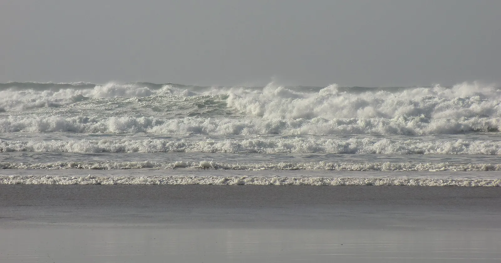
Atlantic swell at Perranporth, off which the north-coast wave buoy is moored. Photo: Kmtextor, Wikimedia Commons, CC BY 4.0.

A diving emergency off Cornwall starts with VHF channel 16 or 999
DDRC Healthcare runs a recompression chamber in Plymouth, across the Tamar in Devon, and publishes a UK diver evacuation procedure. It says it is commissioned by the NHS to provide emergency hyperbaric oxygen therapy for decompression illness and arterial gas embolism, with an on-call diving physician, chamber operator and chamber attendant around the clock, 365 days a year, and the capacity to treat intensive care patients.
The procedure is short. At sea, call the coastguard on VHF channel 16 or phone 999; the coastguard coordinates the rescue and you should prepare for a helicopter or lifeboat. On land, call 999 and ask for an ambulance. Transport is then arranged by distance to the chamber and severity. Cover for that evacuation is a separate question, which our dive insurance guide deals with.
Six Cornwall dive businesses are in SSI’s register, filed from Looe to Helston
The Cornwall operator list holds 6 businesses, read on 25 September 2026, all published by SSI in its register of affiliated centers. The register files two under Helston and one each under Looe, Truro, Bodmin and St. Austell. That is the town the register records, not necessarily where the boat leaves from.
SSI rates four of them for particular programs. Viewpoint Diving Cornwall is listed for freediving, extended range and rebreather; Dive Looe for extended range; Porthkerris Divers for freediving; and Aquacity Freediving for freediving, mermaid and freediving instructor training. A rating is a listing, not a promise that a course runs this season.
All six publish a website in the register, and one of those addresses served an unrelated online gambling site when it was checked on 25 September 2026, so the list links five. These are membership registers rather than licenses, and a shop that never joined SSI does not appear, whatever it teaches. Which registers can be read explains what each source returns.
FAQ: scuba diving in Cornwall
Do you need a license to dive wrecks in Cornwall?
Only on designated ones. Thirteen wrecks off Cornwall and the Isles of Scilly are protected under the Protection of Wrecks Act 1973, and diving to explore one inside its restricted area needs a license administered by Historic England. The Coronation and HMS Colossus can be dived on their dive trails, which need no personal license. A wreck on neither the protected nor the military list, such as the Mohegan on the Manacles, needs no license, but anything recovered must be declared.
What is the water temperature for diving in Cornwall?
The coastal wave buoys average about 9 to 10 degrees Celsius in the coldest month, February or March, and 15.7 to 17.0 degrees in August, over records running back as far as 2006. September stays close to August, between 15.3 and 16.4 degrees. The buoys measure the surface, so the water at depth can be colder.
When can you see basking sharks in Cornwall?
Public sightings across the UK are greatest from June to August, and a study of 11,781 records from 1988 to 2008 named southwest England as one of three hotspots. The species is on Schedule 5 of the Wildlife and Countryside Act 1981, and in England and Wales it is an offense to disturb a basking shark intentionally or recklessly.
Can you take lobster or crawfish when diving in Cornwall?
From a boat without a permit, the Cornwall IFCA byelaw of 2016 allows five lobsters, crawfish, edible crabs and spider crabs combined per calendar day, of which no more than two may be lobster or crawfish, all landed the same day. The count is of what is on board the vessel, not per diver. Crawfish must measure at least 110 millimeters along the carapace.
Do you have to report things you find on a wreck in Cornwall?
Yes. Section 236 of the Merchant Shipping Act 1995 requires anyone who finds or takes possession of wreck in UK waters to give notice to the Receiver of Wreck. The Act sets no deadline; the 28 days comes from the agency's guidance. Failing to report can bring a fine up to level 4, forfeiture of salvage and liability for twice the wreck's value.
Note: Conditions, safety guidance and regulations change. Verify current information with official sources, including the dive operator, Historic England, the Receiver of Wreck and Cornwall IFCA, before you travel or dive.
Founder of NOMADREEF and a former digital nomad. This guide is sourced from the references below; conditions, prices and rules change, so verify current details, and follow qualified local guidance and safety briefings. About the author · LinkedIn ↗
Sources
- What the Protection of Wrecks Act forbids. Protection of Wrecks Act 1973, section 1, revised text on legislation.gov.uk, shown with no outstanding effects on 25 September 2026: section 1(3)(a) to (c) on tampering, diving or salvage operations directed to exploration, diving or salvage equipment and deposits in a restricted area without a license; section 1(5) on licenses. Protection of Wrecks Act 1973, s. 1. Read 25 September 2026. Primary.
- How many protected wrecks, and what visitors may do. Historic England: 57 protected wrecks on the National Heritage List for England; licensing administered by Historic England; bathing, angling and navigation permitted in a restricted area; anchoring only for licensed activities or maritime distress; listing in the Admiralty Notices to Mariners and on UKHO charts; six wrecks with a dive trail, including the Coronation and HMS Colossus, and no license required for divers on a trail (page updated 8 April 2026). What are protected wreck sites, Protected wreck sites consents and Dive trails. Read 25 September 2026. Primary.
- Which of the 57 lie off Cornwall and Scilly. The NHLE protected wreck sites layer (57 features) from Historic England’s open data service, plotted by position on 25 September 2026, and each list entry for the site descriptions, designation orders, restricted area radii and depths quoted: NHLE protected wreck sites layer; Coronation Offshore (1000069), Coronation Inshore (1000070), St Anthony (1000067), Loe Bar Wreck (1000076), Schiedam (1000049), Rill Cove (1000046), Royal Anne (1000068), Hanover (1000072), Tearing Ledge (1000063), Association (1419276), Bartholomew Ledges (1000066), HMS Colossus (1000078), Wheel Wreck (1000086). The Coronation entries give the 1691 loss, around 600 dead, 83 cannon over about 1,000 meters and depths of 13 and 5 meters; the two entries give different survivor figures, so none is quoted. Read 25 September 2026. Primary.
- Military remains and the 2026 controlled sites. Protection of Military Remains Act 1986, section 2, revised text: section 2(2) on tampering and entering hatches or openings, section 2(3) on prohibited excavation, diving or salvage operations, section 2(4) on the license defense, section 2(7) on penalties. Protection of Military Remains Act 1986, s. 2. The Protection of Military Remains Act 1986 (Designation of Vessels and Controlled Sites) Order 2026, SI 2026/286, made 9 March 2026, in force 30 March 2026, revoking SI 2019/1191: Schedule 1 (113 designated vessels, by name and date only) and Schedule 2 (controlled sites, including HMS A7, HMCS Regina and HMCS Trentonian with their radii and coordinates). SI 2026/286. Read 25 September 2026. Primary. The places named next to the three coordinates are our reading of those coordinates, not words from the order.
- Reporting wreck. Merchant Shipping Act 1995, section 236 (duties of finder, level 4 fine, forfeiture of salvage, twice the value) and section 255 (definition of wreck, fishing boats and gear treated as wreck), revised text up to date to 25 September 2026. s. 236 and s. 255. The 28-day reporting period, its description as a reasonable time, written extensions, the £2,500 figure and the regardless-of-age wording are the Maritime and Coastguard Agency’s: Wreck and salvage law (GOV.UK). Read 25 September 2026. Primary.
- The Marine Conservation Zones. The Manacles Marine Conservation Zone Designation Order 2013 (Ministerial Order 2013 No. 13, made 21 November 2013, in force 12 December 2013) and the Amendment Order 2016 (No. 27, in force 29 January 2016); the Runnel Stone Marine Conservation Zone Designation Order 2016 (No. 17, in force 29 January 2016); the Whitsand and Looe Bay Marine Conservation Zone Designation Order 2013 (No. 27) and its 2019 Amendment Order (No. 51). Schedules of protected features read in the printed PDFs. Manacles 2013, Manacles amendment 2016, Runnel Stone 2016, Whitsand and Looe Bay 2013, Whitsand and Looe Bay amendment 2019. Marine and Coastal Access Act 2009, section 140, revised text: s. 140. Read 25 September 2026. Primary.
- The Fal and Helford SAC. JNCC site record UK0013112: 6,362.83 hectares; Annex I habitats that are a primary reason for selection (sandbanks, mudflats and sandflats, large shallow inlets and bays, Atlantic salt meadows) and qualifying features (estuaries, reefs). JNCC, Fal and Helford. Read 25 September 2026. Primary.
- Cornwall IFCA byelaws and district. The Manacles Marine Conservation Zone (Fishing Restrictions) Byelaw 2017; Whitsand and Looe Bay Marine Conservation Zone (Fishing Restrictions) Byelaw 2018; Closed Areas (European Marine Sites) No 2; Lobster, Crawfish and Crab Fishing Permit Byelaw 2016, paragraphs 3 to 5; Cornwall Sea Fisheries District Crawfish Byelaw 2011, paragraphs 2 to 4; all from the authority’s byelaws and regulations page, for example the permit byelaw (PDF) and the Manacles byelaw (PDF). The district: The Cornwall Inshore Fisheries and Conservation Order 2010, SI 2010/2188, article 3. SI 2010/2188, art. 3. Read 25 September 2026. Primary.
- Basking sharks and the pink sea-fan in law. Wildlife and Countryside Act 1981, section 9 (England and Wales version, including subsection (4A) inserted from 30 January 2001 by the Countryside and Rights of Way Act 2000) and Schedule 5 (basking shark added 16 April 1998 by SI 1998/878; pink sea-fan added 29 October 1992 by SI 1992/2350, for section 9(1), (2) and (5) only), both shown up to date to 25 September 2026. s. 9 and Sch. 5. Read 25 September 2026. Primary.
- When basking sharks are seen. Witt MJ, Hardy T, Johnson L and others (2012), Basking sharks in the northeast Atlantic: spatio-temporal trends from sightings in UK waters, Marine Ecology Progress Series 459: 121–134: 11,781 records from 1988 to 2008, three hotspots including southwest England, sightings greatest from June to August, season length correlated with the North Atlantic Oscillation. Read from the publisher’s abstract. doi:10.3354/meps09737. Read 25 September 2026. Primary (peer-reviewed).
- Sea temperature and waves. National Network of Regional Coastal Monitoring Programmes, Coastal Wave Network Report 2025 (TR136): buoy positions, water depths and record start dates, and the all-years monthly averages of sea surface temperature, significant wave height and direction for Looe Bay, Porthleven, Penzance, St Mary’s Sound and Perranporth. Coastal Wave Network Report 2025 (PDF). Read 25 September 2026. Primary.
- Emergencies. DDRC Healthcare, the chamber operator: NHS commissioning for emergency hyperbaric oxygen therapy for DCI and AGE, the 24/7 on-call team and intensive care capability, and the UK diver evacuation procedure (VHF channel 16 or 999 at sea, 999 and an ambulance on land). DDRC Healthcare and UK diver evacuation procedure. Read 25 September 2026. Primary.
- The Mohegan, 1898. The year of loss on the Manacles is triangulated from three independent accounts: Wikipedia, Helston History and St-Keverne.com. Read 25 September 2026. They disagree on the death toll (106 against 107), so no figure is given here. Her absence from the protected wreck list rests on source 3.
- Gaps. No primary source was found for a blue shark season off Cornwall, so none is given. The buoys record surface temperature only, and no primary record of temperature at dive depth was found. The order of 2026 gives no position for its 113 protected places, so none is assigned to Cornwall here. Fishing rules around the Isles of Scilly were not read.
- The six businesses. Six businesses on the Cornwall operator list, read 25 September 2026, all published by SSI in its register of affiliated centers, with the register’s town field, program ratings and website field. One published address served an unrelated online gambling site on 25 September 2026 and is not linked. The limits of each source are set out on which registers can be read.