Tenerife vs Fuerteventura: Which Canary Island in 2026?
 by Yannick SchrothAug 3, 20266 min read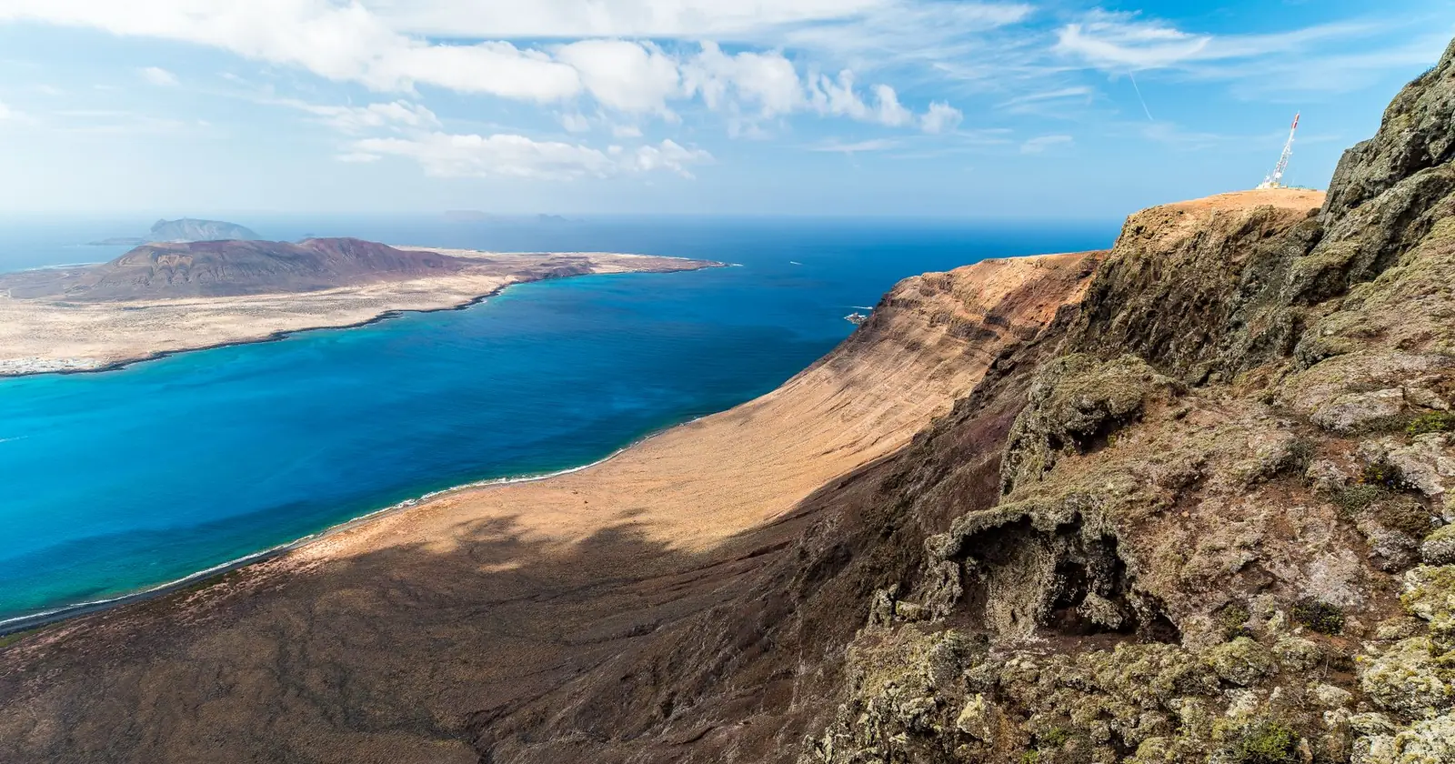
Photo: Claudio Fornaciari / Pexels.
Best for
- A connected, work-first base with diving: Tenerife, fast EU fibre
- Wind, kite and surf on a quieter beach island: Fuerteventura
| Tenerife | Fuerteventura | |
|---|---|---|
| Signature | Fast fibre, whales and dolphins, volcanic diving | Sotavento wind (windsurf/kite), north-shore surf |
| Watersports | Diving and whale watching | Windsurf, kite and surf |
| Wifi and amenities | Fast (the most connected Canary, no figure of our own | Solid) EU fibre, quieter, no figure of our own |
| Cost | Mid EU | Mid EU |
| Vibe | Bigger, more urban, work-first | Laid-back, beachy, wind-and-surf |
| Visa | Spain Digital Nomad Visa or EU | Same |
| Best for | Work-first nomads and divers | Wind- and surf-focused nomads |
Connection levels are defined on Fast, Solid, Basic and Thin.
Tenerife in short
Tenerife is the most connected Canary Island: the fastest fibre, a range of urban and coastal bases, year-round whales and dolphins offshore and volcanic diving. It is the work-first pick, with the infrastructure and amenities of a bigger island, on Spain's nomad visa. If reliable connectivity and diving matter more than wind sports, Tenerife wins.
Fuerteventura in short
Fuerteventura is quieter, beachier and wind-blessed: the Sotavento lagoon is a world windsurf and kite venue, and the north around Corralejo has proper surf. EU fibre is good, but the whole island is more laid-back and beach-focused than urban Tenerife. It is the pick if wind sports or surf are your reason to be in the Canaries.
Tenerife or Fuerteventura: the short version
Choose Tenerife for the fastest connectivity, diving and a more urban, work-first base; choose Fuerteventura for windsurf, kite and surf on a quieter, beachier island. Both are EU, on the Spanish nomad visa and mild year-round, so it comes down to work-and-diving versus wind-and-surf.
Tenerife or Fuerteventura: which to pick
- If you want the fastest wifi, diving and a work-first base: Tenerife.
- If you want windsurf, kite or surf on a quieter beach island: Fuerteventura.
- Both are Spain/EU on the Spanish nomad visa and mild all year; decide by your sport.
One of these islands has a 3,718-metre mountain on it. That is the whole comparison.
Everything that differs between these two, wind, cloud, water temperature, which coast works on which day: comes back to one number, and both islands' numbers are published.
Tenerife. Teide National Park is on UNESCO's World Heritage List, and the citation is specific: the park “features the Teide-Pico Viejo stratovolcano that, at 3,718 m, is the highest peak on Spanish soil”, and “Rising 7,500 m above the ocean floor, it is regarded as the world's third-tallest volcanic structure”.
Fuerteventura. UNESCO's biosphere reserve entry gives its highest point as Pico de la Zarza at 807 m, describes a topography of “U-shaped valleys and low mountains” unlike the other Canaries, and notes that the island's habitats include “the largest desert and semi-desert in Europe” with “an almost complete lack of tree cover”. Its western coastline “extends for more than 100 km and is free of human intervention”.
Three thousand seven hundred metres against eight hundred. A mountain that size does two things to a trade wind: it blocks it, creating a genuine lee with its own microclimate, and it squeezes it around the ends, accelerating it. Fuerteventura, low and open, mostly just lets the wind through. That is why Tenerife's conditions vary sharply by coast and Fuerteventura's are more uniform and more reliably windy: and why a Tenerife forecast is a forecast for one side of an island rather than for the island.
One more number, from a third source, keeps the contrast honest. Spain's met agency records Fuerteventura Aeropuerto at an annual mean of 21.1 °C with 98 mm of rain a year and 2,836 hours of sunshine over 1981–2010, with 0 mm in June, July and August. That is what a low, open, arid island reads like in a table. Tenerife has no single figure that describes it, because a 3,718-metre mountain means the north and the south of one island belong to different climates.
FAQ: Tenerife vs Fuerteventura
Is Tenerife or Fuerteventura better for digital nomads?
Tenerife, for a work-first base: it is the most connected Canary with the fastest fibre and the most amenities. Fuerteventura is quieter and beachier, better if your priority is windsurf, kite or surf rather than connectivity.
Which is better for watersports?
It depends on the sport. Fuerteventura wins for windsurf and kite (the Sotavento lagoon) and has good surf. Tenerife is stronger for diving and year-round whale and dolphin watching. Choose by which you do.
Do both have a nomad visa?
Yes: both are part of Spain and the EU, so non-EU nomads can use Spain's Digital Nomad Visa, and EU citizens can move freely. Both are mild year-round, which is a big part of the Canaries' appeal.
Sources
- What a flat island measures. AEMET, standard climate values 1981–2010, Fuerteventura Aeropuerto (index C249I, altitude 25 m, Puerto del Rosario): annual mean 21.1 °C, annual rainfall 98 mm, 2,836 hours of sunshine a year, 15.7 rain days of 1 mm or more, 68.7 cloudless days; 0 mm in June, July and August. aemet.es. Read 13 September 2026.
- The mountain, from the World Heritage citation. UNESCO World Heritage Centre, Teide National Park (inscribed property 1258): the park “features the Teide-Pico Viejo stratovolcano that, at 3,718 m, is the highest peak on Spanish soil”; “Rising 7,500 m above the ocean floor, it is regarded as the world’s third-tallest volcanic structure and stands in a spectacular environment.” whc.unesco.org. Read 13 September 2026.
- The island without one. UNESCO Man and the Biosphere Programme, Fuerteventura Biosphere Reserve (nominated 2009): “Unlike the other Canary Islands, the topography is characterised by U-shaped valleys and low mountains. The highest peak is Pico de la Zarza at 807 m”; the climate is “very arid, resulting in an almost complete lack of tree cover”; main habitats are “steppe, sea cliffs, and the largest desert and semi-desert in Europe”; “The western coastline extends for more than 100 km and is free of human intervention.” unesco.org. Read 13 September 2026.
- This comparison is assembled from our two full destination guides, and every cost, wifi, season and visa claim above is one those guides already verify: Tenerife, Fuerteventura.
- How we work: editorial standards.